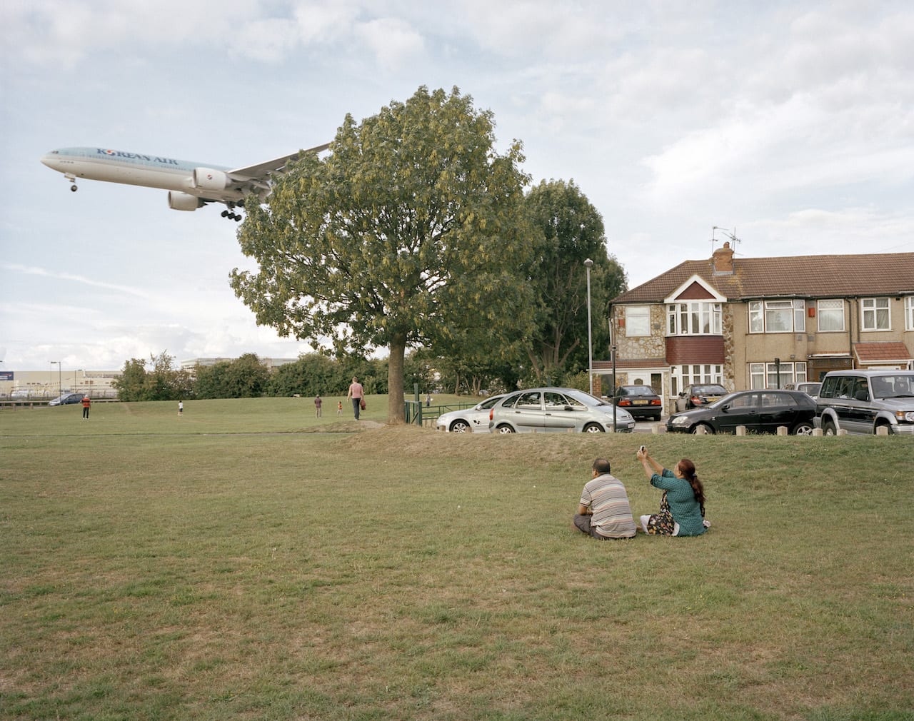
“I have always been interested in exploring London, I’ve travelled around London and photographed it for years, but it took me a long time to think of what I was doing as one project because London is so disconnected,” says Philipp Ebeling. “You can pop up out of the tube and be somewhere that looks totally different, and is totally different.
“There has never been a grand plan for London – there were attempts after the Second World War, and there was talk of a complete renovation a la Haussmann [who remodelled Paris in the late 18th century], but it has never come to anything. You have Harrow, which was part of the Metroland [the new area opened up by the Metropolitan tube line] then grown by a private developer, then you have the Docklands [which were transformed over the 1980s]. It’s something I very much enjoy, but which makes London a hard subject to put together.”
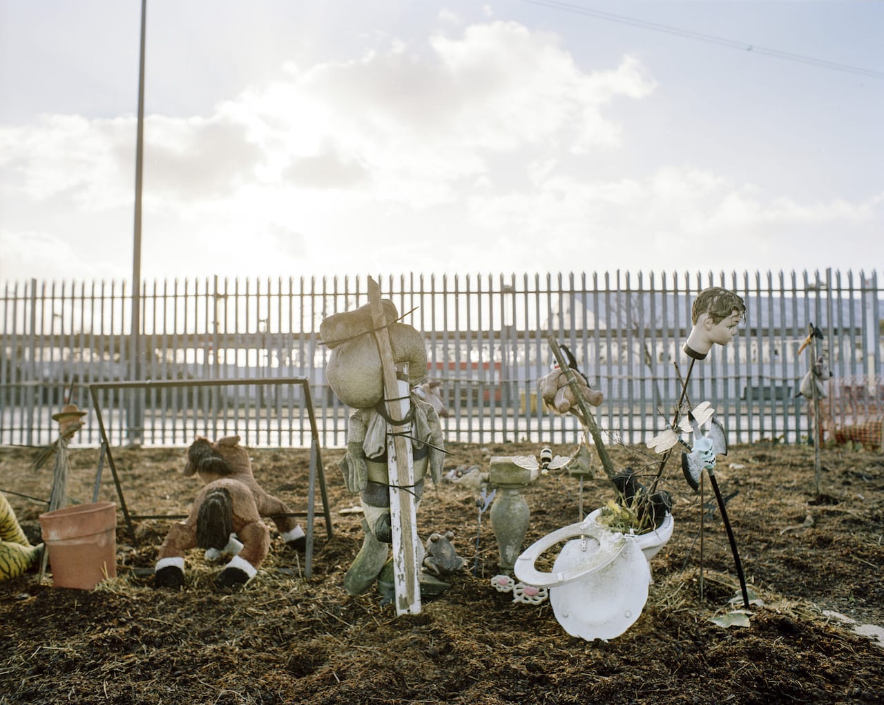
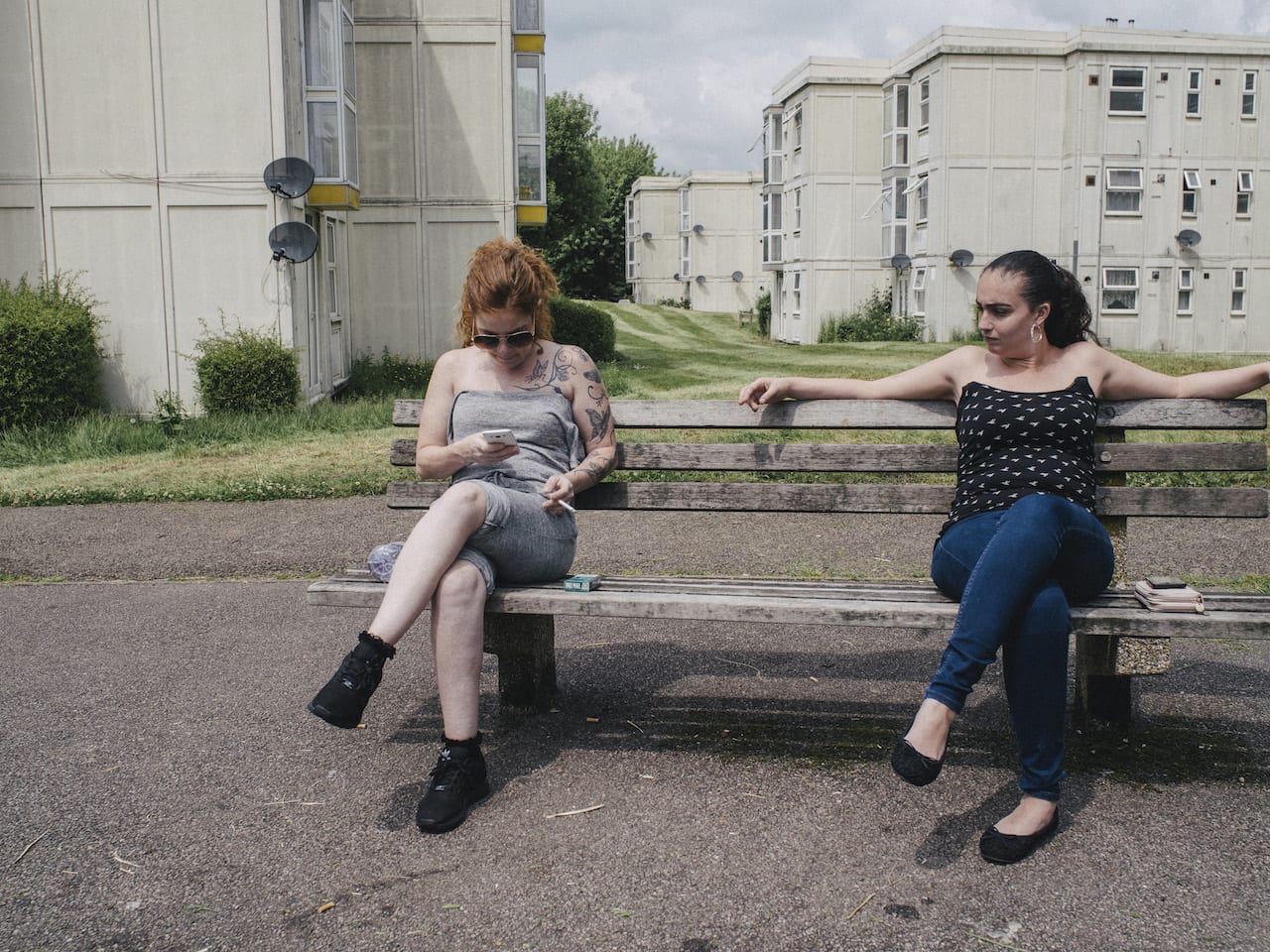
“People who live there have the space and freedom to do something different,” says Ebeling. “So in that sense they are very special places.”
This interest was fed when Ebeling started getting work from with architectural and urban planning practices, and eventually his interest in the city and the site-specific commissions he was shooting melded together into London Ends. About half of the images in the book were shot over the last five years; the other half were shot over a ten-day journey, when he walked 250km around London “without crossing the centre or going home”.
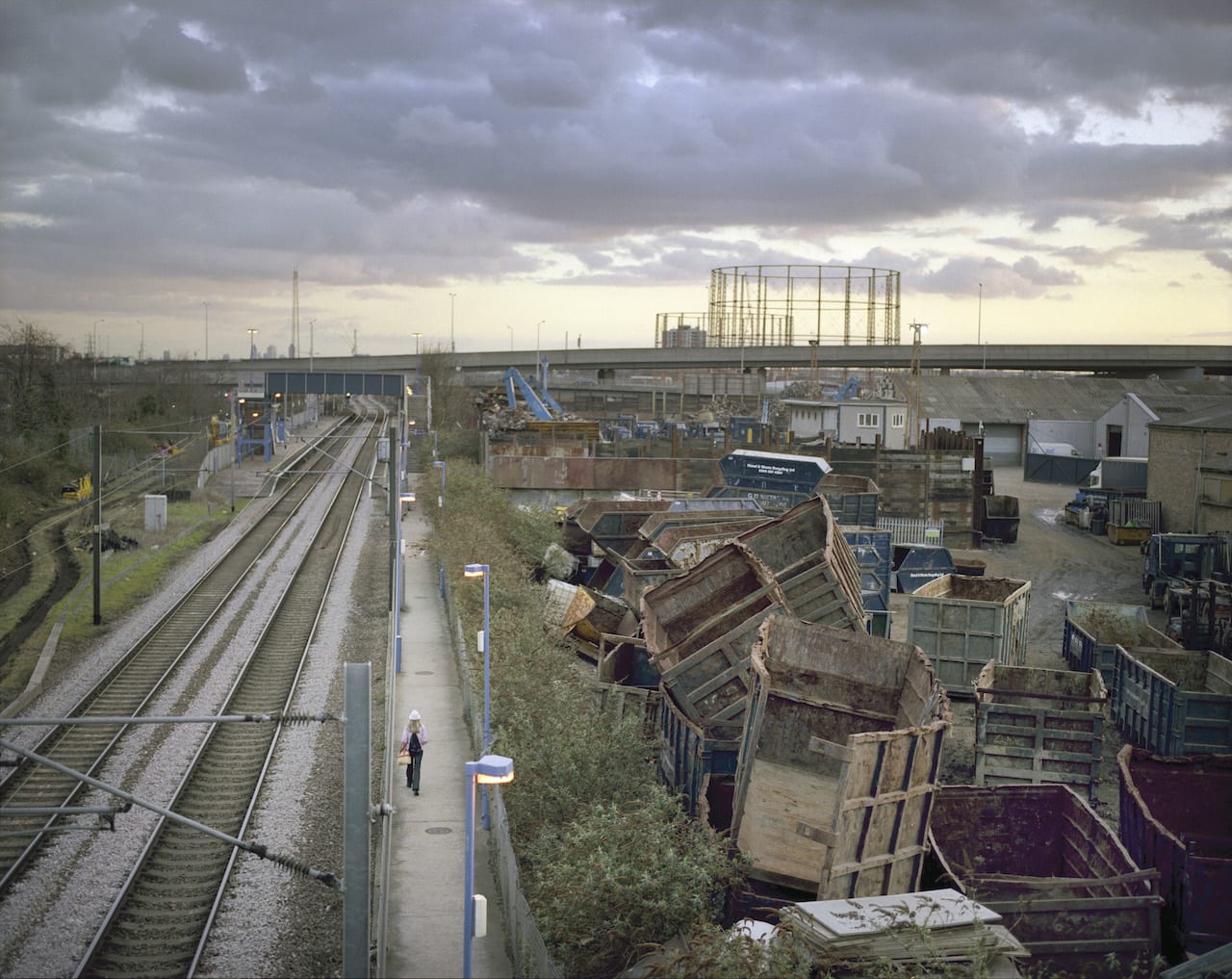
In addition he’s currently in talks with the Architecture Foundation, which has run a series of events over the last couple of years studying London’s peripheries and reconceptualising the city’s shape as a donut, and he may work with them next year. “Hardly anyone lives in the centre of London anymore, and with the rise of home-working people no longer necessarily commute every day,” says Ebeling. “About five years ago I realised that London is changing, and that these areas are changing because of it. That’s when I really started this project in earnest.”